Le Maroc : les Montagnes de l’Atlas (Morocco: day trip to the Atlas Mountains)
- Kate Woodman
- Oct 31, 2018
- 3 min read
Updated: Feb 16, 2020

Après plusieurs jours à Marrakech, on a décidé de quitter l’activité frénétique de Marrakech pour l’air frais et les splendides paysages de l’Atlas. Les montagnes d’Atlas sont les montagnes on voit à la distance au sud de Marrakech. Aziz, le concierge du riad l’Orangeraie, a engagé Hasan, notre chauffeur et guide pour le jour. Notre premier arrêt était Asni, une petite ville située à une quarantaine de kilomètres au sud de Marrakech, au pied du Haut Atlas. Samedi est le jour du marché à l’Asni et c’est un vrai marché. Il n’y avait pas beaucoup de touristes, mais pour la pluspart, les gens de la ville. Hasan a nous accompané et c’était une bonne idée parce que le marché était très bondé et confus. Pour Carol et moi c’était une expérience intéressante sans interruption des vendeurs.
After several days in Marrakech, we decided to get away from the frenzy of Marrakech and head for the hills…or rather the foothills of the Atlas Mountains. These are the mountains one sees in the distance south of Marrakech. The mountain range stretches around 2,500 km (1,600 mi) through Morocco, Algeria and Tunisia. The range's highest peak is Toubkal, with an elevation of 4,167 metres (13,671 ft), the base of which we visited later in the day. The mountains separate the
Mediterranean and Atlantic coastlines from the Sahara Desert. Our driver and guide for the day was Hasan. First stop was Asni, a small town about 40 kilometers south of Marrakech. Saturday is market day there and we were fortunate to be able to experience it. A true market (no trinkets) for the locals, we didn’t see any other tourists. Hasan accompanied us, which was necessary as the market was crowded and confusing. But for Carol and me it was a fascinating experience and a pleasure not to be hassled by the vendors.

Jumble of the market....produce laid out on the ground in crates or on plastic tarps

Pile of tea leaves


Musician


My new favorite fruit....pomegranates

Flour ground at the communal mill

On a conduit jusqu’à Imlil, une petite village qui est une base pour montée Mont Toubkal, le plus haut sommet de l’Afrique du Nord. On a fait une randonnée facile vers une heure. On a vu beaucoup de grimpeurs, le plus à pied, mais certains sur ânes.
From Asni we drove on narrow, winding mountain roads to the small village of Imlil, a popular base for climbing Mount Toubkal, the highest peak in Northern Africa. Along the way, we saw many cartons of apples on the road side. Hasan informed us that, after tourism, the area around Imlil is best known for its apples, walnuts and cherries. Hasan lead us on an easy walk on mountain paths around Imlil where we encountered many hikers, most on foot, but some on donkeys, the most popular (or so it seemed to us) beast of burden in Morocco.


Small village built into the mountainside


"Sherpa" accompanying a hiking party to summit

Couldn't get away from the vendors, even in the mountains! I wondered why one would purchase a rug in the middle of a hike, but I guess some do or the vendors wouldn't exist...


Loved this little guy....wouldn't stop looking at us....

Farmer taking her cow and sheep to graze

Tagines sitting on individual beds of coals ....hadn't seen that before....

Shopkeeper in Imlil
Having worked up an appetite for lunch, Hasan drove us to a small, simple house built into the mountainside, where we dined on cous cous, pomegranates and of course, mint tea, served by a delightful Berber family on their colorful terrace overlooking the valley.

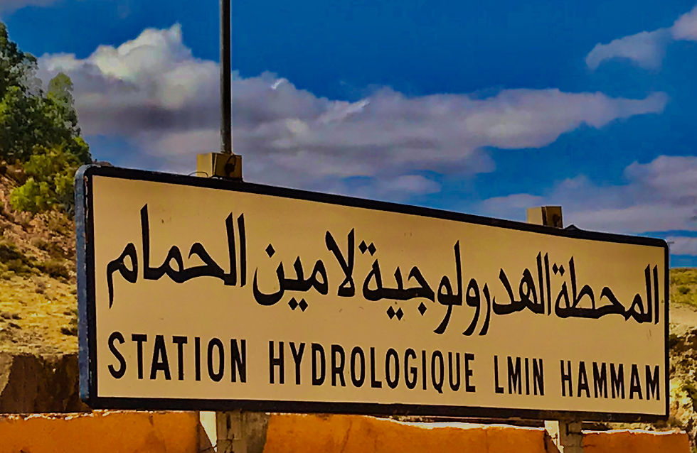
Sign on house where we had lunch....never got an explanation


Dessert....cous cous with sugar and cinnamon....surprisingly good!


Original stove (no longer used)....reminded me of Sharp Hill Road...
After lunch, Hasan drove us to our camp in the Agaway Desert where we spent the night. But that's a topic for another post....coming soon!


Comments